“In cartography, as in medicine, art and science are inseparable. The perfect map blends art and science into an effective tool of visual communication.” ~ Dr. Keith Harries
How to travel to a homestead or unofficial placename in Saskatchewan or Western Canada. How to determine distances between contemporary placenames and ghost towns. Do you have an historic document or correspondence which has a placename that you have not heard of previously? The homestead or locality which does not appear on a modern map are an enigma to the traveller trying to find the ancestral home. The genealogical researcher may wish to locate a local history book, or cemetery to glean more information about their family tree, however where would one locate the Saskatchewan place name "End Lake" or "Roderickville" for instance? One very excellent resource is Geographical names in Canada | Natural Resources Canada Looking up a placename for any locale in Canada will produce the latitude and longitude along with a map, legal land description along with nearby placenames and the distance from the longitude / latitude supplied or the distance from the placename searched. Another is the Online Historical Map Digitization Project showing maps, atlases and gazetteers from 1862 to the mid 1950s, genealogists and historians can find a variety of maps are a valuable reference tool for information about places, place names and their locations.

Check the two Atlas of Saskatchewan books along with Bill Barry's Geographic Names of Saskatchewan for placenames and their locations book ISBN1-897020-19-2. Saskatchewan local history directory : a locality guide to community and church histories in the Prairie History Room, Our Towns: Saskatchewan Communities from Abbey to Zenon Park By David McLennan and Saskatchewan Ghost Towns are other major resources to help you on your way with your preliminary research online. Search Saskatchewan Placenames amalgmates placenames from the National Archives resources, various books and atlases, and historical maps. An historical location may be defined by the legal land location. How easy is it to locate Roderickville located at section 20 township 15 range 10 West of the third meridian?
“A map is the greatest of all epic poems. Its lines and colors show the realization of great dreams.” ~ Gilbert H. Grosvenor
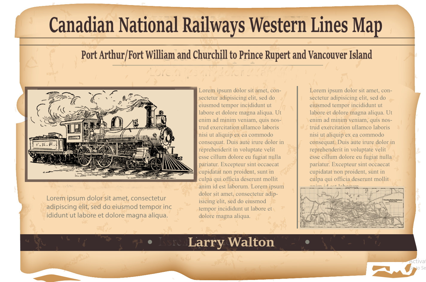
Roderickville appears on Larry Walton's Canadian National Railways Western Lines Map a part of the Online Historical Map Digitization Project and Roderickville also shows up in Geographic Names of Saskatchewan. It then becomes apparent that Roderickville is located just west and south of Swift Current near Rush Lake on the Canadian National Railway. Travelling to Roderickville, now becomes much easier with such bearings. Obtaining a modern Rural Municipality map then provides current roads for the area. The determination of which Rural Municipality needs to be contacted can be derived from one of these maps which will help locate the legal land description, in this case section 20 township 15 range 10 West of the third meridian for Roderickville. This legal land location can be identified by
| Rural Municipality Coulee No. 136 | ||||
| Latitude | Longitude | |||
| 50.273554 | -107.345313 | |||
| 50° 16.413' N | 107° 20.719' W | |||
| 50° 16' 24.79" N | 107° 20' 43.13" W | |||
| Township Road 154 | Range Road 3105 | |||
| MGRS/USNG | UTM | NTS 13U CR 32882 71677 | 13N 332882 5571678 | C-28-C/72-J-6 |
- Braddock 24-13-11-W3 is a nearby Locality 19 kilometers
- Burnham 16-15-11-W3 is a nearby Locality 9 kilometers
- Coulee No. 136 is a nearby Rural Municipality 13 kilometers
- Fauna 16-11-W3 is a nearby Railway Point 16 kilometers
- Hallonquist 25-13-10-W3 is a nearby Hamlet 19 kilometers
- Herbert 17-9-W3 is a nearby Town 19 kilometers
- Neidpath 1-15-10-W3 is a nearby Hamlet l 9 kilometers
- Rush Lake 1-17-11-W3 is a nearby Village 15 kilometers
“I am told there are people who do not care for maps, and I find it hard to believe.” ~ Robert Louis Stevenson
The other method to arrive at Roderickville section 20 township 15 range 10 West of the third meridian would be to use an online legal land converter which determines the latitude and longitude and the GPS bearing for any legal land location. Then plug this number into any GPS system. Ascertaining which localities are close to Roderickville and which Rural Municipality Roderickville is located within, also helps to know which cemeteries are nearby and which local history books are written for the area. Use any library catalogue and type in the rural municipality or larger municipality name. Genealogists may be interested in neighbouring cemeteries to locate an ancestor. In Saskatchewan, a number of the cemeteries are online by a variety of groups, as they are for many countries and provinces across Canada. The Saskatchewan Genealogy Society, for example lists cemeteries by rural municipality.
- Village population of at least 100
- Town population of 500 or more
- City 5,000 residents.
| Horse / Horse and Cart Travel Distances | ||
| Geographic surface | ||
| Level or rolling terrain: | Without a cart | With a loaded cart |
| On Roads / trails | 40 miles/day 64 kilometers/day | 20 miles/day 32 kilometers/day |
| Off-Road (or unkempt trails etc) | ||
| Hilly terrain: | 30 / 51 | 15 / 24 |
| Mountainous terrain: | 20 / 32 | 10 / 16 |
| Level/rolling grasslands: | 30 / 51 | 15 / 24 |
| Hilly grasslands: | 25 / 40 | 12 / 19 |
| Level/rolling forest/thick scrub: | 20 / 32 | 10 / 16 |
| Very hilly forest/thick scrub: | 15 / 24 | 7 / 11 |
| Un-blazed Mountain passes: | 10 / 16 | 5 / 8 |
| Marshland: | 10 / 16 | 5 / 8 |
Local Improvement Districts (LID's) and, Statute Labour and Fire (SLF) Districts improve the local community, establishing cemeteries, honouring war dead, providing health care, roads, bridges. The horse and cart were greatly assisted by the work of the early precursors to the RM and to the Department of Highways and the ensuing Rural Municipality formation. LIDs and SLFs were replaced by Rural Municipalites (RM) following the Spencer Commission findings. Roads were straightened in the 1960s following World War II as more families had access to motorized transport with improved technologies from World War II. When the veterans returned home, society made further improvements. These improvements phased out the need for travel by horse, horse and cart, and ox and buggy. Gradually the extensive railway system saw branch lines closing due to the same phenomena. The one room school house gave way to the consolidated school in town. Families shifted away from the rural farm following the drought and depression in the 1930s seeking economic recovery in the urban centres. The consolidated school also attracted younger families to urban centres and away from living a rural existence.
"First, farms became larger and the rural population declined, so that the sales volume of small-town stores decreased and many businesses ceased to be viable. Second, motor vehicles became more affordable and highways were improved, thereby increasing mobility. Third, this mobility, along with greater disposable income, enabled rural people to purchase goods and services available in higher-order, more distant central places. Fourth, to achieve costs savings, many smaller grain elevators, and public service facilities such as schools and hospitals were replaced by larger ones, at fewer locations. ...A number of small settlements have disappeared." Schlichtmann
Good luck on your journey, and have a lot of fun discovering where once there was a thriving and active community of settlers, which may no longer exist. What can be found today? Does the foundation of a store, or a school district flag pole still remain? Here is another mystery; McMichael near Melfort on Larry Walton's Canadian National Railways Western Lines Map. This placename of McMichael does not appear on contemporary maps, and is not discovered by Bill Barry in his book, so what is known of this placename that has disappeared? Are there any other placenames on historic maps which are not listed at Search Saskatchewan Placenames? Lost places collect placenames without a location, and the Search Saskatchewan Placenames seeks to update its listing with new additions as they are submitted.
Have fun on your genealogical journey discovering what are the neighbouring communities of an ancestral ghost town. By locating a historic settlement it is easier to find resources such as local history books, libraries, museums, historical societies, cemeteries and perhaps a descendant still farming on the "Century Farm" to help discover further information for the family tree. If you are tracking down a historic placename in correspondence or a treasured historic letter, please bear in mind, that pioneers and settlers often referred to their placename where they lived as the name which may be indeed the one room schoolhouse district as it was an integral part of the new community, and settlers gathered together at the school house for meetings, dances, rallies, the Christmas play etc. Julia Adamson ________________________________________________________________________________ Related Posts: Country Roads Leading Home
Where were Saskatchewan homesteads located?
How do I locate my Ancestors Home Town in Saskatchewan?
Locate Your Saskatchewan Place-name
How did pioneers travel to their prairie homesteads?
Maybe the Ghosts Will Live Again! Saskatchewan Ghost Towns… Do you have oral history about a Saskatchewan placename not on a current map? How do you find those communities which were once dotted around the prairie every six miles or so? ________________________________________________________________________________ All rights reserved. Copyright © Julia Adamson All my images and text are protected under international authors copyright laws and Canadian photography laws and may not be downloaded, reproduced, copied, transmitted or manipulated without my written explicit permission. They may be licensed through Getty images. .. Peace and love be with you. Namaste. ________________________________________________________________________________ Follow me on Sask Gen Web, 500 px, Word Press, Facebook, Blogger, Twitter, Tumblr, Live Journal, Flickr, and Flickriver ________________________________________________________________________________

No comments:
Post a Comment
This is an admin moderated comment form.