"We are addresses in ghost towns. We are old wishes that never came true." Pete WentzRural areas or sparsely populated villages may prefer to stay unincorporated. Unincorporated villages do not govern themselves or provide their own municipal services. Instead, these services are provided by a larger nearby town or usually the rural municipality in Saskatchewan. They also must follow the rules and regulations of the larger town or RM, as they do not have their own administrative officials. Typically, unincorporated villages are very small. They may be rural areas, or small towns between larger towns. Either way, they do not have the population to sustain the expense and time required to set up all the services an incorporated village requires. In Saskatchewan, there should be 25 separate dwellings within a land area of 640 acres to qualify for incorporation. There are a few villages in Saskatchewan with fewer than 100 residents.
According to the Provincial Archives of Saskatchewan, "When asking for incorporation, the Department of Municipal Affairs may historically have lists of petitioners asking the Minister for incorporation: In the case of rural municipalities, each petitioner was required to give the legal land description of his home farm. For urban municipalities, each petitioner had to state an occupation and often provided the legal description of their lot. There also may be special municipal census records outside of and over and above the National census taken every five years. Beginning in 1914, legislation required that a census be taken in hamlets that were petitioning for incorporation as a village. The census included the name and address of every resident." Three of these census are online Duff 1920, Insinger 1921, and for Neudorf 1901
In Saskatchewan, a hamlet is an unincorporated community that is under the jurisdiction of a rural municipality. It has at least five occupied dwellings situated on separate lots and at least 10 separate lots, the majority of which are an average size of less than one acre. The people of an organized hamlet may request that the hamlet be incorporated as a village or resort village. In order to qualify, the hamlet must have been an organized hamlet for at least 3 years, have a population of at least 100 in the most recent census, and contain at least 50 separate dwelling units or business premises. The Government of Saskatchewan recognizes three different types of hamlets – generic "hamlets", "special service areas" and "organized hamlets"
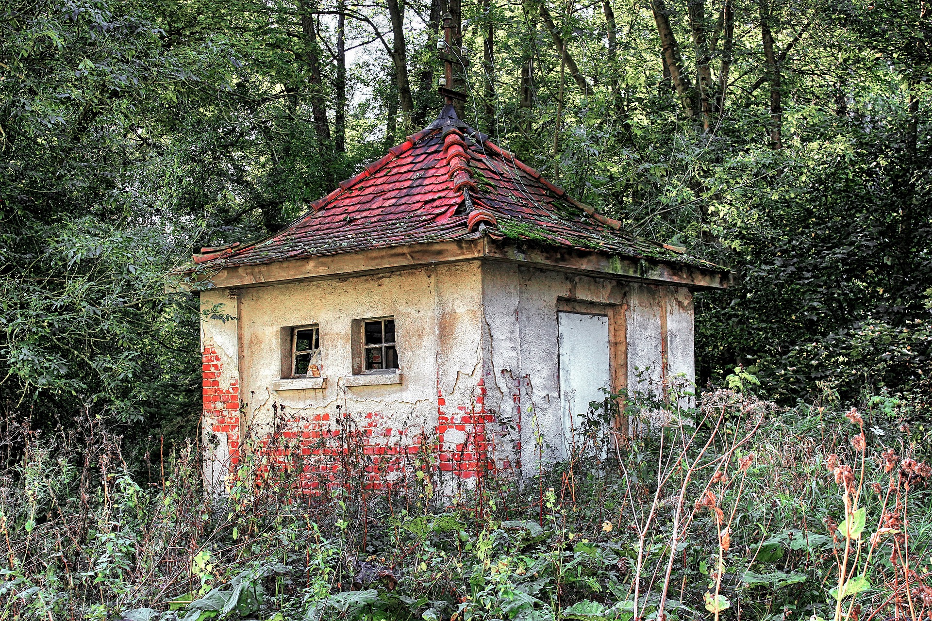
On occasion a deer would gallop through the streets or a bird alight on the tall black lampposts, but other than that the only noise was the wind. At the train station stood seven high-speed engines with multiple high-class carriages but the clock on the wall had long given up on telling the time. By anomaly it topped the nations charts for lack of crime, smallest hospital wait-lists and lack of children failing in school. It was a ghost town, or perhaps a ghost city. Built in the belief that people would come and industry follow. They just never did. Angela Abraham
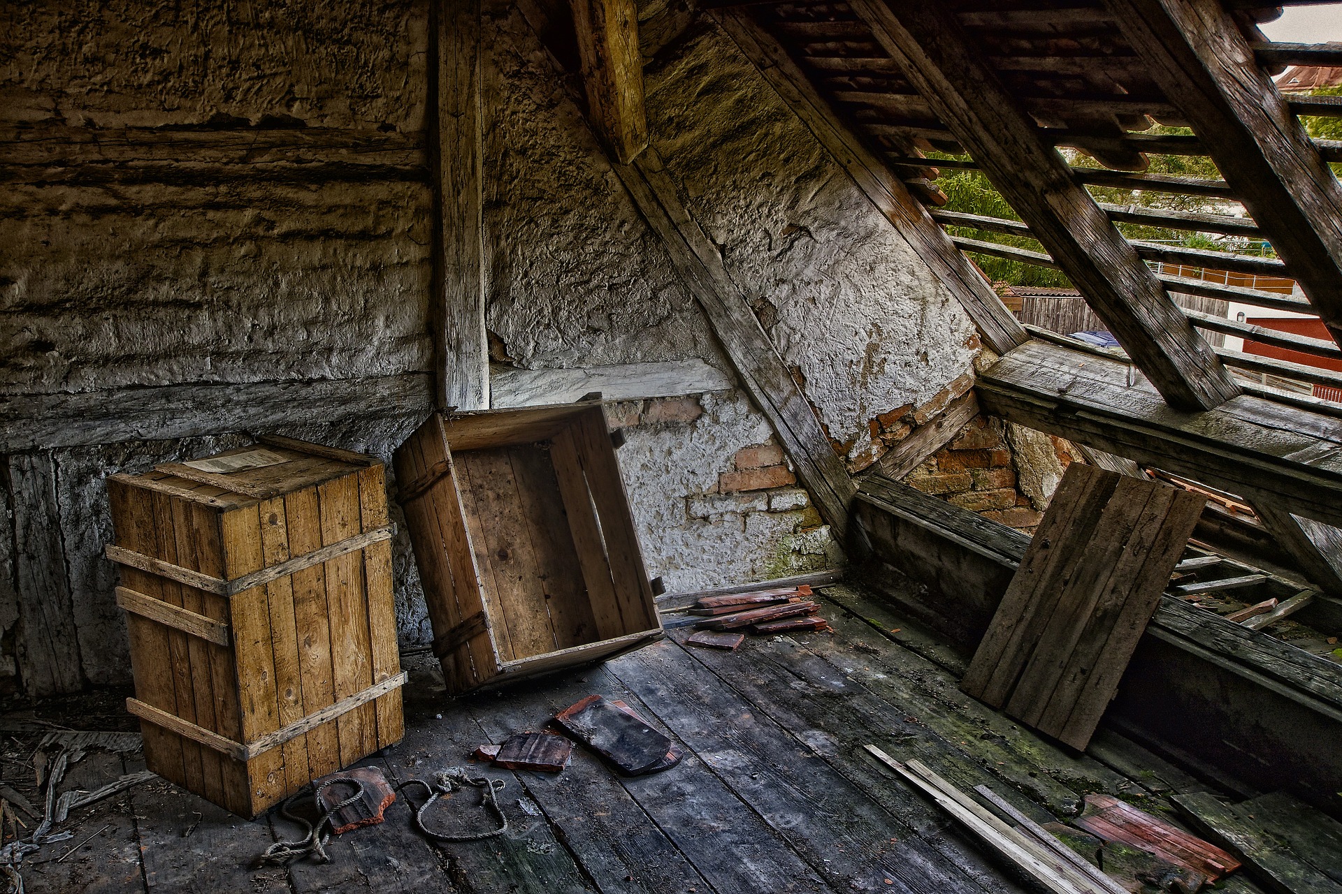
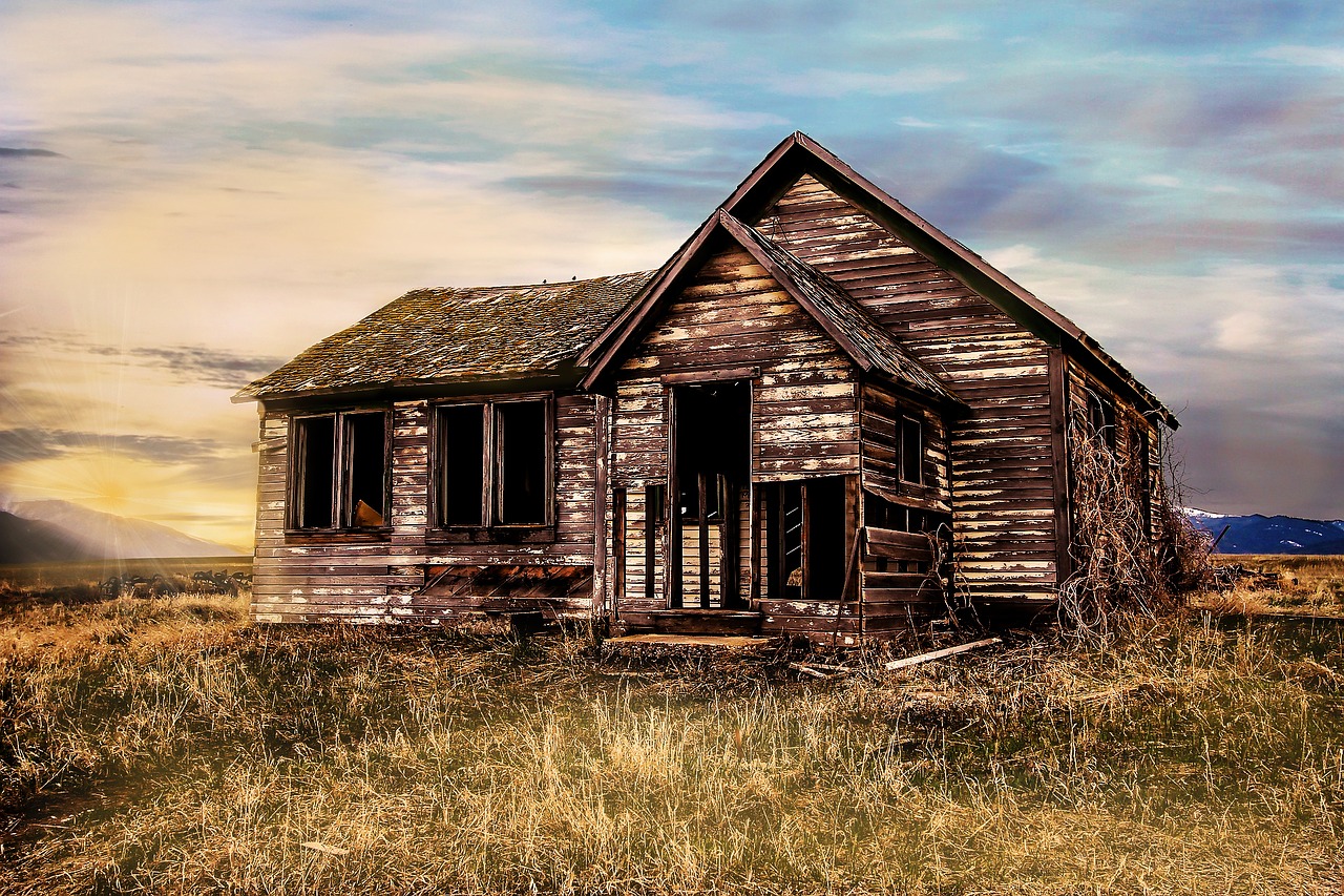 Old Farmhouse
Incorporated villages are those that are self-governing with their own administrative body, and major decisions are voted upon by the people who live there. These villages also provide their own municipal services, such as fire and police. Since setting up these services and administration is time-consuming and costly, villages must have enough taxpayers to afford the expense and effort of being incorporated. Some states and provinces allow villages to incorporate but only provide some of the administrative and municipal services, allowing other services to be supplied by a larger, neighboring town or rural municipality. Following incorporation as a village, the land area has a name and boundaries, and a council is elected with elections Taxes collected go to the new municipality, rather than to the RM council. The RM council has no authority over the village, rather the new bylaws, and local improvements and duties are decided by the village council according to the The Tax Enforcement Act and Municipal Administration guidelines The Government of Saskatchewan incorporation process to establish either a village or resort village from hamlet status which then proceed according to the municipalities act
In Saskatchewan, towns are formed from villages or resort villages with a population of at least 500 people. However towns with populations below the limit may, however, revert to village or resort village status if the town council requests it. In Saskatchewan, towns must have a population above 5,000 in order to be granted city status. Another municipality in Saskatchewan is a rural municipality (RM) is created by the Minister of Municipal Affairs by ministerial order via section 49 of The Municipalities Act. According to the Saskatchewan Association of Rural Municipalities,
"In 1883, the federal government gave the legislative council of the North West Territories the authority to make laws respecting local government. .... Those areas that did not form municipalities were organized as Local Improvement Districts (LID's) and, Statute Labour and Fire (SLF) Districts." Historically it was found that a failure of the LID and SLF larger than the 36 square kilometers originally allocated for RM administration was a bit hard to maintain during the era of horse and buggy.
"in 1905, the provincial government established the Spencer Commission to develop a standard framework for local government organization. This was in response to the increasing demands being placed upon local councils by the seemingly endless influx of settlers. By 1907, the Commission had held meetings throughout the province at which it solicited the opinion of the people as to: what responsibilities and authority local councils should have; how large rural municipalities should be; how many councillors were required in each rural municipality; and how often elections should be held, among other things."SARM The Spencer Commission resulted in ..... "The first legislation specifying the powers of rural municipalities, towns, villages and cities in Saskatchewan was passed in 1909. " Municipal Council Member’s Handbook Saskatchewan Ministry of Municipal Affairs
An RM may have its office in a town or village, which has its own separate and distinct civic administration, but the RM administers the rural affairs of a large land area including rural residents, unincorporated areas or ghost towns. The RM administers the remaining population of the ghost town providing any needed civic infrastructure, safety, health, educational, or tourism affairs. Localities with small populations are enumerated in census taking by Statistics Canada as a population belonging to the RM.
 Historically an RM began as a SLF when the fear of grass fires threatened the lives and livelihood of local homesteaders of Saskatchewan. These Fire Districts became known as Local Improvement Districts LID. LIDs were exactly that - seeking to improve the local community, establishing cemeteries, honouring war dead, providing health care, roads, bridges. Later LIDs were seen as very large areas, and the concept of the Rural Municipality began which started out as nine townships, or administering an area six miles by six miles in area, which could more readily serve the rural population with administrative and infrastructure services such as education, telephone, water, sewer, recreation, lighting in addition to the services of the Fire District and LID.
Unincorporated communities include hamlets and organized hamlets within rural municipalities and northern settlements within the Northern Saskatchewan Administration District NSAD. Unincorporated communities In land law, an unincorporated community is a populated place that is not within any incorporated municipality, but are within the jurisdiction of a rural municipality, county or other political subdivision. Residents in an unincorporated community pay taxes to the RM, and rely on the RM, reeve and councillors for the bylaws, administrative decisions, infrastructure, and emergency services such as fire and police and the like. Though some incorporated communities do have emergency services shared or supplied by a larger town or RM.
When incorporated, a collective group of residents in the community have a little more control over their local neck of the woods. According to the 2016 census of population just recently released, a determination can be made about the status of placenames whether they are official or unofficial, hamlet, village, town, city or rural municipality.
Here is an example of Watson incorporating from a village to a town.
Dunblane is an example of a community which incorporated as a village in 1916, and then when population dwindled, the village officially disorganised in 1975 - or became an unincorporated or unofficial area.
The ghost town was out of place in the rolling hills of yellowing grass. The old road was barely discernible through the flora that had colonized it .... The only welcome was the howl of the wind and the only future of the town was to be slowly beaten by the weather and eventually succumb to gravity without even a witness or person to mourn its passing. Angela Abraham
________________________________________________________________________________
Related Posts:
1921 Canada Census: Place of Habitation :: Rural Municipalities explores Rural Municipality placenames which are no longer in existence
Rural Municipalities of Saskatchewan
Saskatchewan Evolutionary Changes Maps and the lost Placenames
Country Roads Leading Home
Where were Saskatchewan homesteads located?
How do I locate my Ancestors Home Town in Saskatchewan?
Locate Your Saskatchewan Place-name Maybe the Ghosts Will Live Again! Saskatchewan Ghost Towns… Do you have oral history about a Saskatchewan placename not on a current map? How do you find those communities which were once dotted around the prairie every six miles or so? ________________________________________________________________________________ All rights reserved. Copyright © Julia Adamson All my images and text are protected under international authors copyright laws and Canadian photography laws and may not be downloaded, reproduced, copied, transmitted or manipulated without my written explicit permission. They may be licensed through Getty images. .. Peace and love be with you. Namaste. ________________________________________________________________________________ Follow me on Sask Gen Web, 500 px, Word Press, Facebook, Blogger, Twitter, Tumblr, Live Journal, Flickr, and Flickriver ________________________________________________________________________________ _________________________________________________________
Rural Municipalities of Saskatchewan
Saskatchewan Evolutionary Changes Maps and the lost Placenames
Country Roads Leading Home
Where were Saskatchewan homesteads located?
How do I locate my Ancestors Home Town in Saskatchewan?
Locate Your Saskatchewan Place-name Maybe the Ghosts Will Live Again! Saskatchewan Ghost Towns… Do you have oral history about a Saskatchewan placename not on a current map? How do you find those communities which were once dotted around the prairie every six miles or so? ________________________________________________________________________________ All rights reserved. Copyright © Julia Adamson All my images and text are protected under international authors copyright laws and Canadian photography laws and may not be downloaded, reproduced, copied, transmitted or manipulated without my written explicit permission. They may be licensed through Getty images. .. Peace and love be with you. Namaste. ________________________________________________________________________________ Follow me on Sask Gen Web, 500 px, Word Press, Facebook, Blogger, Twitter, Tumblr, Live Journal, Flickr, and Flickriver ________________________________________________________________________________